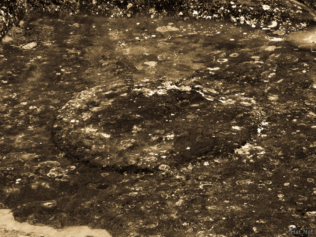
puma marking, el fuerte
It is not actually a military fortification but it is generally considered a pre-Columbian religious site, built by the Chanes, a pre-Inca culture of Arawak origin. There are also ruins of an Inca city built near the temple; the city was built during the Inca expansion to the southeast. Both Incas and Chanes suffered several raids from Guarani warriors that invaded the region from time to time. Eventually, the Guarani warriors conquered the plains and valleys of Santa Cruz and destroyed Samaipata. The Guaranis dominated the region well into the Spanish colonial period.
Direction Same location as last photo
Location Samaipata, Santa Cruz, Santa Cruz Department, Bolivia, South America
Info F 4.8 1/50 ISO 80 with Canon PowerShot G9
| Keywords | 2009, Afterfate, Aftersleep, Bolivia, Buildings & Structures, El fuerte, Lazy Hiker, Longest Journey, Outdoor, Outdoor Photography, Ruins, Saimaipata, South America, Travel | ||
|---|---|---|---|
| Continent | South America | Country | Bolivia |
| State | Santa Cruz Department | City | Samaipata, Santa Cruz |
| Weather | Cloudy, drizzle | Temperature | Cool |
| Event | Mirador 2 | Day | To Santa Cruz |
| Activity | El Fuerte | Temp | 7C |
| Tour | Tupiza Tour | Date | 2009:10:26 10:39:18 |
| Make | Canon | Model | Canon PowerShot G9 |
| Rating | 3 | Lens | 7.4-44.4 mm |
| Flash | Off, Did not fire | Focal | 44.4 mm |
| Exposure | 1/50 | F Number | 4.8 |
| ISO | 80 | White Bal. | Auto |
| Metering | Center-weighted average | Compensation | 0 |
| Hyperfocal | 63.93 m | Latitude | -18.1788138888889 |
| Longitude | -63.8206555555556 | Altitude | 1922.998658 m |
| File Size | 7.4 MB | ||

