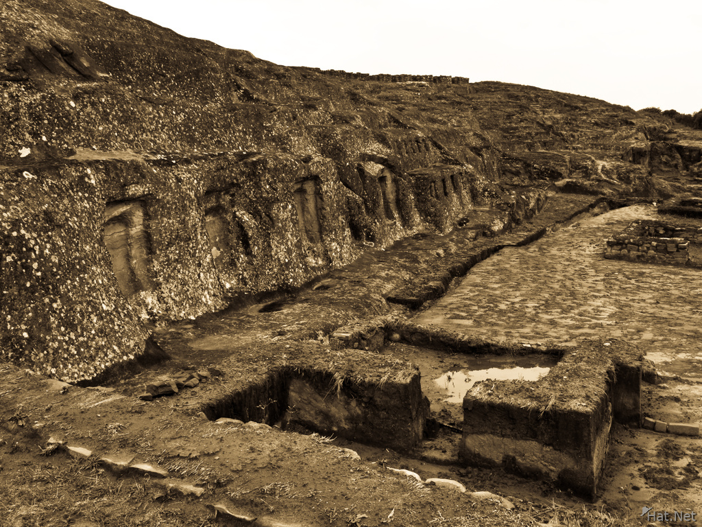
water cistern, el fuerte
The most important feature of El Fuerte seems to be El Cascabel. El Cascabel can be translated as 'The Rattle'. Two parallel lines point to certain points in the eastern sky at a position of azimuth 71� and an altitude of about 6.75� . One could have looked along the parallel lines, standing on the place of observation in front of the Inca-wall at the foot of El Fuerte and watched the parallel rising of two planets at sunrise on August 20, 1066 above both lines against the background of constellation Leo: Venus and Jupiter.[citation needed] Some archaeologists contend that unusual carvings on the rocks may be from a pre-Inca civilization on this Amazonian slope who were commemorating the flyover of Halley's Comet in March 1066
Direction Same location as last photo
Location Samaipata, Santa Cruz, Santa Cruz Department, Bolivia, South America
Info F 6.3 1/40 ISO 80 with Canon PowerShot G9
| Keywords | 2009, Afterfate, Aftersleep, Bolivia, Buildings & Structures, El fuerte, Lazy Hiker, Longest Journey, Outdoor, Outdoor Photography, Ruins, Saimaipata, South America, Travel | ||
|---|---|---|---|
| Continent | South America | Country | Bolivia |
| State | Santa Cruz Department | City | Samaipata, Santa Cruz |
| Weather | Cloudy, drizzle | Temperature | Cool |
| Event | Estructuras | Day | To Santa Cruz |
| Activity | El Fuerte | Temp | 7C |
| Tour | Tupiza Tour | Date | 2009:10:26 10:56:53 |
| Make | Canon | Model | Canon PowerShot G9 |
| Rating | 3 | Lens | 7.4-44.4 mm |
| Flash | Off, Did not fire | Focal | 7.4 mm |
| Exposure | 1/40 | F Number | 6.3 |
| ISO | 80 | White Bal. | Auto |
| Metering | Center-weighted average | Compensation | 0 |
| Hyperfocal | 1.35 m | Latitude | -18.1787111111111 |
| Longitude | -63.819625 | Altitude | 1912.701538 m |
| File Size | 6.3 MB | ||

